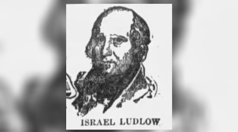
Ludlow was born in Long Hill, Morris County, New Jersey, and Dayton was a New Jersey senator.
Miami Purchase
In 1787, Ludlow, at age 22, was appointed by U.S. Surveyor-General Thomas Hutchiris to survey the large tract of land purchased by Judge John Cleves Symmes in the southwest part of the present state of Ohio, also called the Miami Purchase.
Symmes was the sole proprietor of the Miami Purchase, a vast tract between the Great Miami and Little Miami rivers.
Ludlow and Gen. Dayton later joined Gen. James Wilkinson and Gen. Arthur St. Clair, first governor of the Northwest Territory, in the purchase of a portion of the land from Symmes on Aug. 20, 1795.
In November of that year, Ludlow laid out the town.
When Ludlow surveyed and platted the town that would become Dayton in 1795, he looked for investors to take ownership of the area. Dayton was one of those investors. At the age of 32, Dayton bought 248,540 acres of what would become the Miami Valley.
The story of how the city was named is that Dayton’s name “had the most pleasing sound” of the purchasing partners. Another story is that Ludlow owed money to Dayton, which might or might not have been a coincidence.
The first three streets were St. Clair, Wilkinson and Ludlow, named after the owners of the town. Another, was called Jefferson, because the proprietors were Federalists.
Ludlow locations
Ludlow also surveyed a large part of the Greeneville Treaty Line and established about half of the First Principal Meridian, the line separating Ohio from Indiana.
His work was not easy. There were no roads and the land was raw. He had no government protection from Native Americans but somehow found a way to get along with them.
Ludlow’s equipment would have consisted of a 33-foot surveyor’s chain, a crude, 8-inch compass mounted on a single shaft called a Jacob Staff, and a rifle. Surveyors at the time were paid $1 a mile.
Ludlow sometimes faced challenges to the accuracy of his work.
His plat of Cincinnati was questioned, then accepted. His “Ludlow Line,” dividing the lands between the two Miami rivers from today’s South Charleston 42 miles northward to the Greeneville Treaty Line was adopted by Congress in 1804.
The government of Virginia once disagreed with Ludlow’s surveys, and it wasn’t until 1818 that his work was confirmed. That was 14 years after his untimely death at Ludlow Station, now part of Cincinnati.
Ludlow became one of the first owners of the land that is now called Cincinnati. He built the first frame house there in 1791. As a consequence of his survey work, Ludlow also became owner of what is now the city of Hamilton.
He was only 39 when he died, yet he had surveyed more land in Ohio than any other one man.
Ludlow’s daughter was 2 years old at the time of his death. Her name was Sara Bella, and she married John McLean of Lebanon, who became postmaster general of the United States and a justice of the U. S. Supreme Court.
Israel Ludlow not only was the first person to mark off many important boundaries in the state; he also left behind places called Ludlow Road, Ludlow Street and Ludlow Falls.
About the Author


